Making This a More Livable Community, Having a Better Quality of Life
Encourages People to Come Live Here
The Riverfront Trail System Provides Many Recreational Opportunities to Walkers, Cyclists, Joggers, and Fisherman.
This recreational outdoor trail lines the Colorado and the Gunnison Rivers to create a contiguous path between the City of Fruita, through the City of Grand Junction, to the Town of Palisade. The Trail consists of many different sections, but I am going to focus on the East and West Wildlife Section and the Clifton Nature Park Section. Here is a link to detailed maps on ALL the sections of the Riverfront Trail, just pull up the PDF of the ones you want and take it with you. The detailed maps are the work of local James Hodge who is dedicated to helping fellow cyclists and to introduce people to the cycling opportunities in our area.
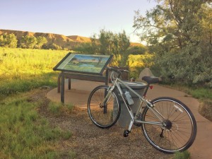
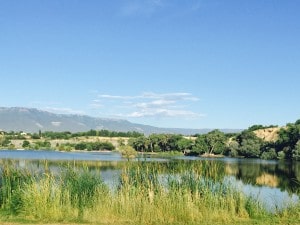
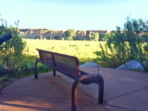
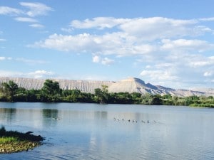
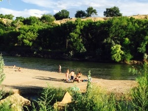
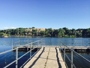
I began my ride at the new Los Colonias Trail by the Botanical Gardens and headed east for about one mile, the Trail ends at 27 1/2 Road. From there you will be on C 1/2 Road for 1.5 miles. When you reach 29 Road, be very careful as you turn right, go for about 0.25 and keep looking for the Trail marker which is on the left. It will be a concrete driveway with a pole in the middle of it. Depending on the time of day, there can be a lot of traffic, so cross 29 Road very carefully. Once you are back on the Trail you will experience river channels, small lakes and ponds, canals, islands, wetlands, cattail marshes and cottonwood groves. The East and West Wildlife Section from the entrance I mentioned at 29 Road all the way to Corn Lake State Park on 32 Road. Along the Trail there are park benches and a big gazebo on the lake to stop and take it all in. Continuing on to Corn Lake, there are restrooms and picnic tables. You can always find fisherman and picnickers at Corn Lake. I would suggest you pack a sandwich or a snack and stop at one of the many places along the way.
The Riverfront Trail Adds an Identity to the Grand Valley, an Identity That is Unique to Any Other Area and an Identity That Attracts People to Move Here
There are several housing communities that you can see on the north side of the Trail between 30 and 31 1/2 Road that have direct access to the Trail out their back door. One of the communities is a new home community with a very contemporary look, a reasonable price and the homes include solar.
The Trail goes under the bridge on 32 Road so go slow as it is a sharp turn on the parking lot and there is some gravel on the road. Now you are on the Clifton Nature Park Trail right along on the Colorado River. I have seen deer in this section walking in the cattails getting an evening drink of water. The Clifton Nature Park section is around 2.0 miles and there are no restrooms or water available along here. The Trail ends at 33 1/2 Road and D 1/2 Road. If you want to continue on to Palisade, you will need another map.
At this point, I turn around and ride back to the Botanical Gardens and the round-trip ride is about an hour and a half if you don’t stop. I love to ride the trail and see the beautiful and rich habitat for wildlife and the riparian vegetation. I also love to see the people along the way enjoying this recreational treasure that is all ours!


